
Andrés Moreno
Designs the geospatial infrastructure in Postgres/PostGIS that centralizes millions of polygons, serving as the optimized storage engine that feeds the viewer APIs.

Geospatial Engineering & Precision Software
We design and develop high-engineering technology solutions that organize complex territorial data into clear interfaces, enabling strategic decision-making.
Our Capabilities
Technical rigor and user-centered design applied to the most complex territorial challenges.
Strategic Consulting & Architecture: We design the technological blueprint for your territorial information. We structure databases, cloud workflows and optimize processes under international standards to guarantee viability and scalability.
Geospatial Engineering (GIS): We process and overlay geographic layers (boundaries, risks and satellite) in an interactive 3D viewer. It's like a real-time land X-ray that ensures the precision of your maps.
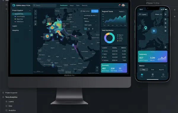
Technology Solutions Development: We create custom web applications and map viewers for your entity. We search and cross-reference millions of cadastral properties instantly, ensuring total speed and stability under high traffic.
AI Integration in Workflows: We accelerate data processing by integrating artificial intelligence. We automatically classify land use through computer vision and analyze massive documents and registries with natural language processing (LLM).
Technical Support & Training: We proactively monitor your organization's infrastructure. We back you up with priority engineering-level support with SLA < 24h and hands-on workshops for your team's autonomy.
SYS_ERR: COORD_SYS_UNSPECIFIED
LAT: 4.609712  | LNG: -74.081754
LAT: 4.611200  | LNG: -74.082900
PTS_COUNT: 2841 | DATA_JANK: TRUE
{"type":"FeatureCollection",
"features":[{"type":"Feature",
"geometry":{"type":"Polygon",
"coordinates":[[[-74.08,4.60],... $ query --all --spatial-index > [Timeout 30000ms] Refused. > ERR_SERVER_OVERLOAD_503 > Connection broken...
Transformation of technical data into interactive solutions for decision-making
Your problem, our solution
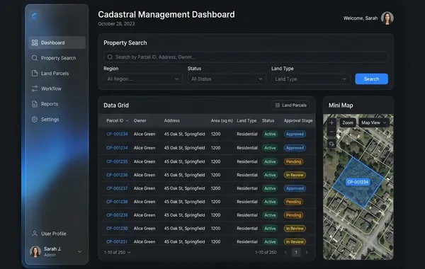
The platform that connects the entire cadastral management cycle. From field land capture to validation, analysis and results monitoring, Terrainfo centralizes information and transforms complex processes into controlled, measurable and scalable operations. A solution designed to execute cadastral projects with quality, compliance and strategic vision.
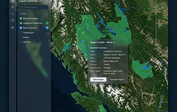
Explore the geographic information generated and compiled to support analysis and decision-making. Visualize layers at different territorial scales, make direct measurements on the map, consult dynamic statistics and multitemporal analysis, and download the information you need.
A multimedia knowledge base about the Amazon. It gathers articles, resources and documents in text and blog format, with a keyword search engine and geospatial filters that facilitate finding relevant information for each territory.
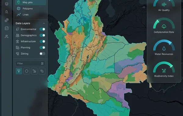
Explore the Indigenous Territorial Entities of Colombia. Access an interactive map and browse a thematic profile explorer with demographic, environmental and coverage indicators organized by community.
Trust ecosystem
The precision of our geospatial engineering is the core of strategic alliances with actors such as the Ministry of Environment, the Gaia Amazonas Foundation and municipal administrations, transforming complex data into stable decision-making tools.
We consolidate a coordinated technical team. Each specialist operates at a stage of the data flow, ensuring that design, structuring and deployment work as a unified system.
Designs the geospatial infrastructure in Postgres/PostGIS that centralizes millions of polygons, serving as the optimized storage engine that feeds the viewer APIs.

Builds the cartographic rendering logic in React and OpenLayers, translating Andrés' databases into interactive visual layers with high response speed.

Validates the legal and topological consistency of land under the LADM-COL standard, ensuring that loaded data rigorously complies with multipurpose cadastre guidelines.

Optimizes the user experience of viewers, transforming Felipe's complex regulatory logic into clean, understandable map interfaces for executive profiles.

Orchestrates the container architecture on AWS so that the interactive viewer designed by Valentina supports massive traffic peaks and stable concurrent queries.

Automates forest change detection through advanced Python algorithms, generating analytical raster layers that integrate into the system's spatial engine.
Discover how we approach geospatial technology, software development and territorial consulting through the reflections and practical learnings of our technical team.

Prueba strapi